


Surveying Instruments
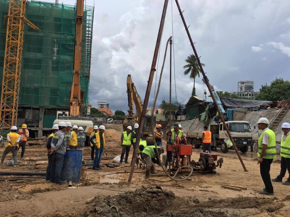
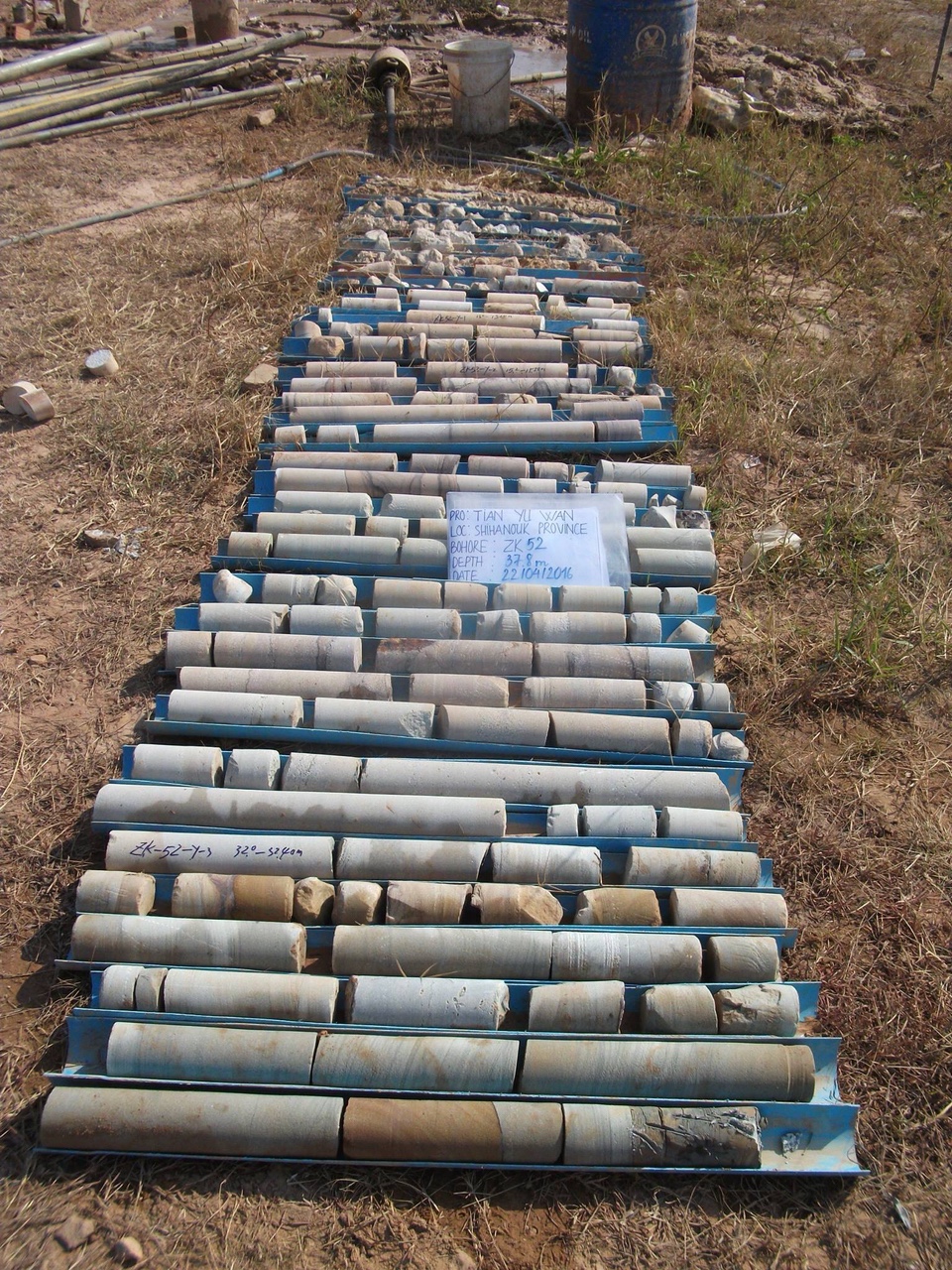
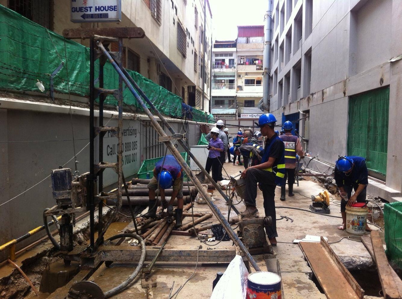
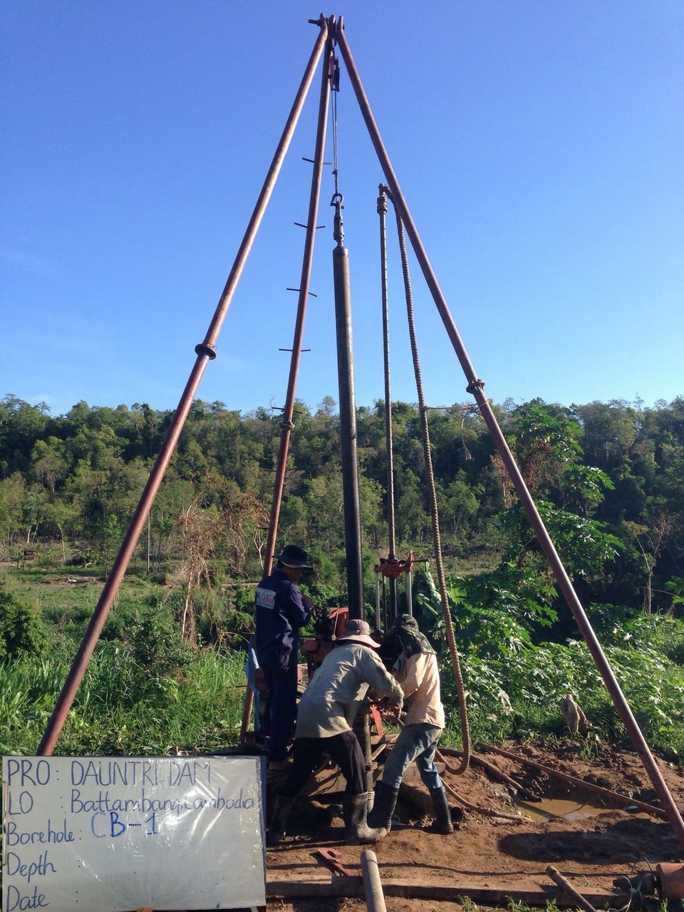
We are the exclusive distributor of HI-TARGET Brand about: GNSS surveying (Static, RTK, DGPS or installing CORS), Hydrographic surveying (Single beam or Multibeam echo sounder, Side Scan Sonar, Magnetometer, Sub-Bottom Profiler), Hydrological surveying (ADCP), Geotechnical Investigation, UAV surveying using drone, or reparing or maintenance about surveying equipments.
1, TOTAL STATION OF HI-TARGET
Model: ZTS-320R – TOPCON Style (Reflector less Range: 600m)
2, TOTAL STATION OF HI-TARGET
Model: HTS-420R – LEICA Style (Reflector less Range: 350m)
3, GNSS RTK OF HI-TARGET
Model: V90Plus (01 BASE & 01 ROVER)
(Internal radio – External radio – Simcard 3G/ 4G communication w/ without CORS)
4, GNSS RTK OF HI-TARGET
Model: V30 (01 BASE & 01 ROVER)
(Internal radio – External radio – Simcard 3G/ 4G communication w/ without CORS)
5, SINGLE BEAM ECHO SOUNDER OF HI-TARGET
Model: HD-MAX
Sounding accuracy: ± 10mm + 0.1%D
Sounding range: 0.2m – 600m
6, AUTO LEVEL OF HI-TARGET
Model: HT-32
Standard deviation for 1 Km double levelling: 1.6mm/ 1 Km
7, DRONE TECHNOLOGY TRANSFER
01 Drone DJI Phantom 4 Pro + 01 Photogrammetry software 3DSurvey (or similar) for 1 computer can be using permanent + Training for technology transfer around 1-2 days.
8, Water level measure Yamayo RWL50
9, Pentax AP-228 Auto level
10, Garmin Etrex 10 handheld GPS
11, Garmin GPSMap 78 handheld GPS
12, Laser auto level Fukuda 6 rays, 4 rays
13, Motorola SMP 418
TOTAL STATION OF HI-TARGET
Model: ZTS-320R – TOPCON Style
(Reflector less Range: 600m)Categorys
Faacebook
Facebook H.A.I