Topographic Survey Services — Land & Underwater | HAIC Cambodia
What We Survey
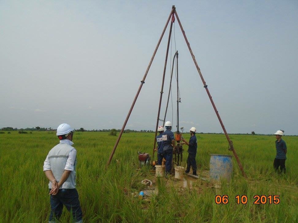
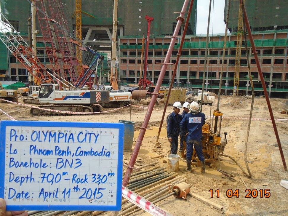
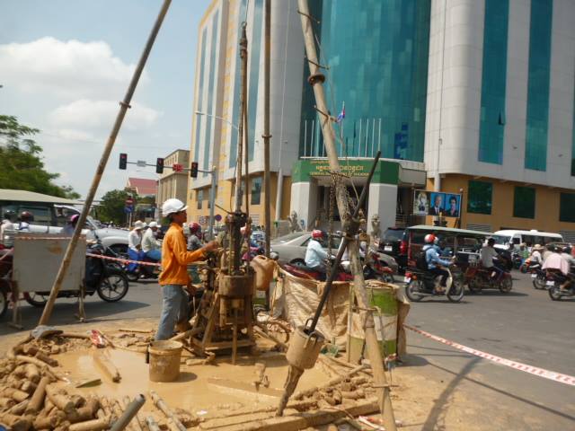
Land Topographic Survey
We map terrain across roads, rural land, forests, and complex landscapes using a combination of UAV photogrammetry, RTK GPS, total station, and auto level. Whether your project covers a few hectares or hundreds of kilometres of road corridor, our workflow is designed to deliver high-density elevation data with centimetre-level accuracy — even in areas that are difficult or unsafe to access on foot.
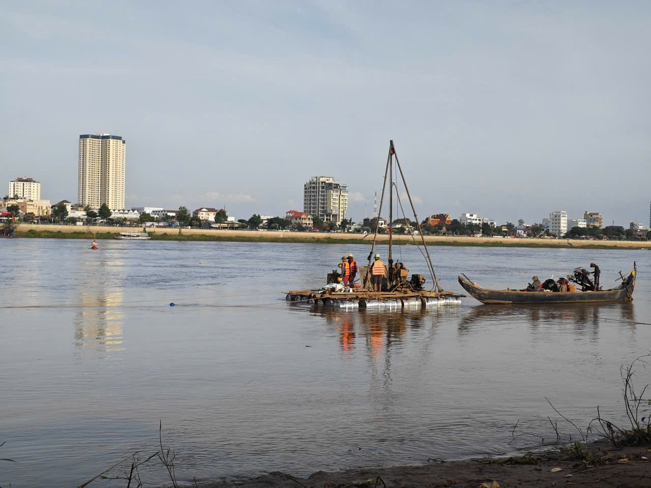
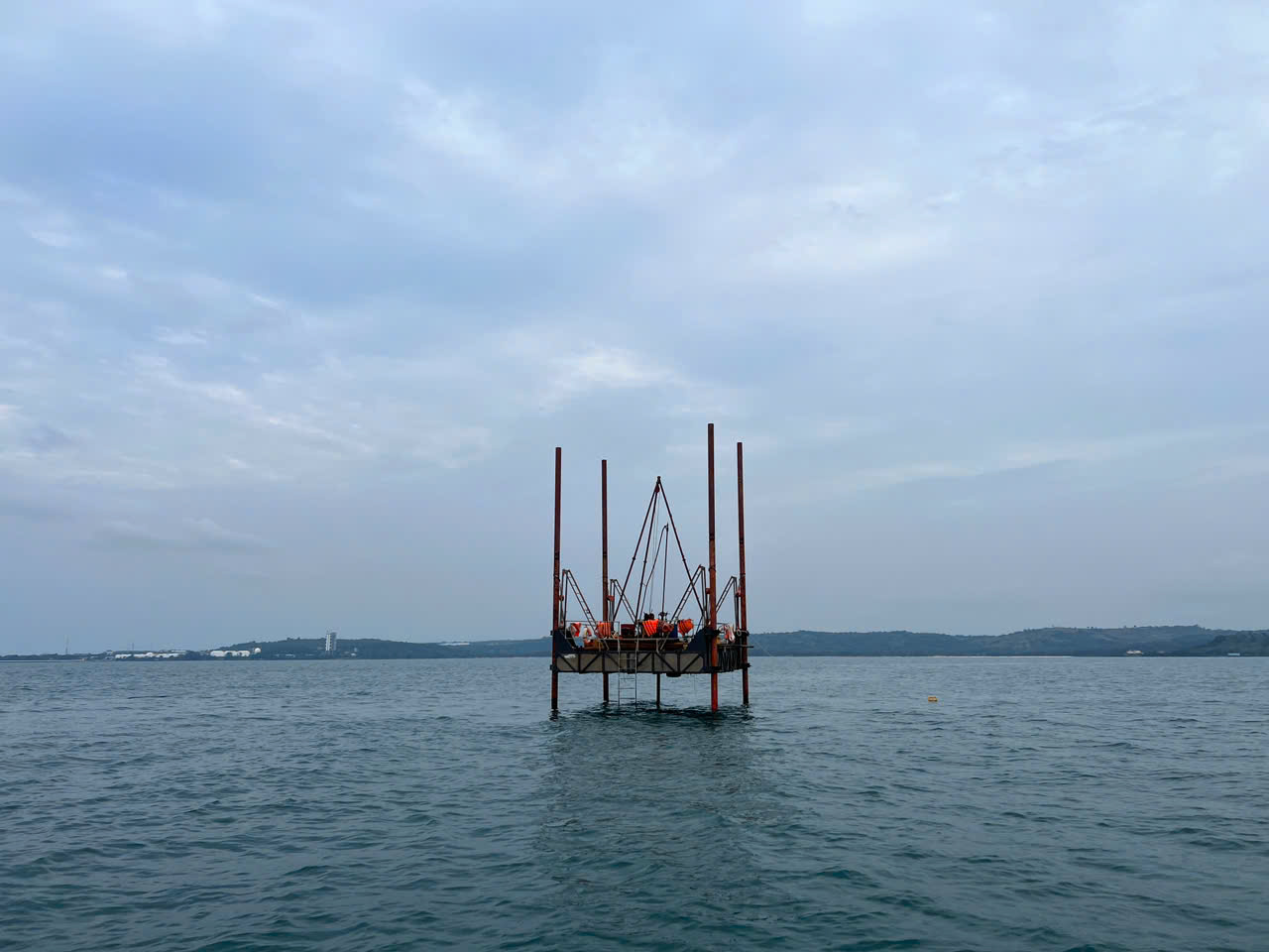
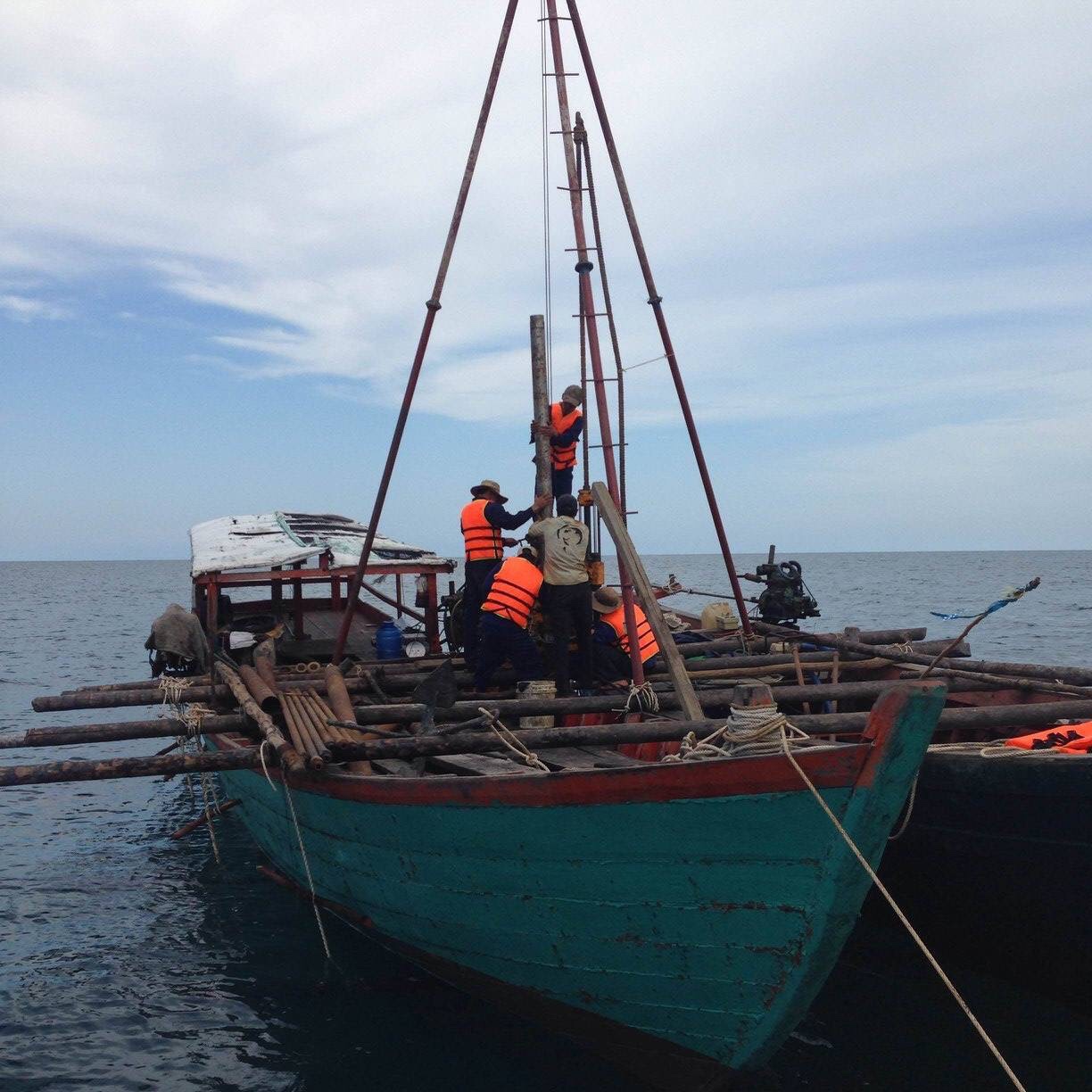
Underwater Bathymetric Survey
For rivers, reservoirs, lakes, and coastal zones, we deploy echo sounder equipment integrated with DGPS/RTK real-time positioning to measure water depth continuously along survey transects. The result is a precise 3D model of the underwater terrain — essential for dam capacity assessments, dredging design, bridge foundations, flood modelling, and waterway management.
Technologies We Use
We do not rely on a single instrument. Our surveys integrate multiple technologies to cross-check results and ensure the highest data quality:
- UAV photogrammetry — unmanned aerial vehicles capture overlapping high-resolution imagery that is processed into orthomosaics, dense point clouds, and digital terrain models. Ideal for corridor mapping, large-area coverage, and sites with restricted ground access.
- DGPS & RTK GPS — differential and real-time kinematic satellite positioning provides the geodetic control backbone for all our surveys, achieving horizontal and vertical accuracy of ±1–3 cm.
- Echo sounder (single-beam) — continuous acoustic depth measurement along planned transects, fully integrated with DGPS/RTK for georeferenced bathymetric output.
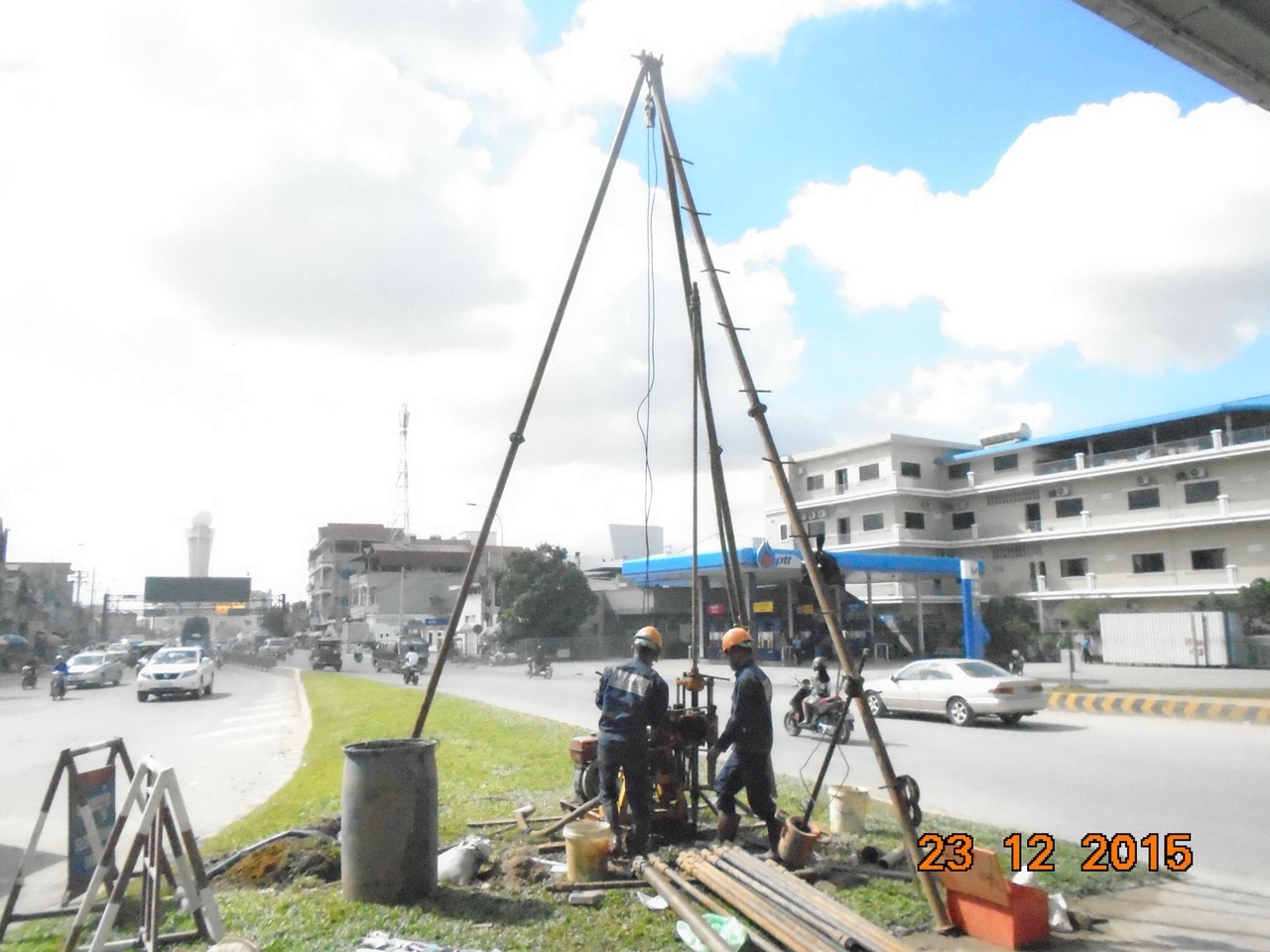
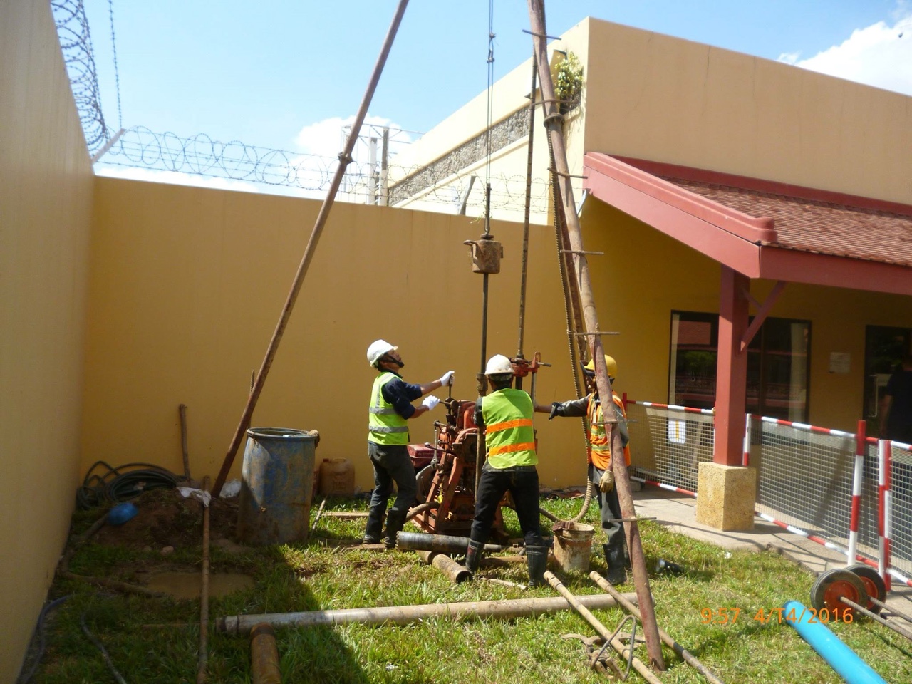
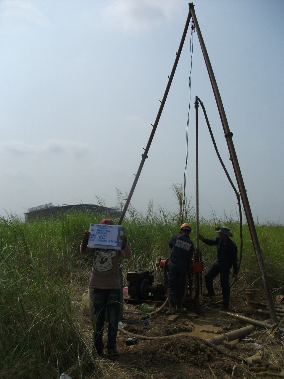
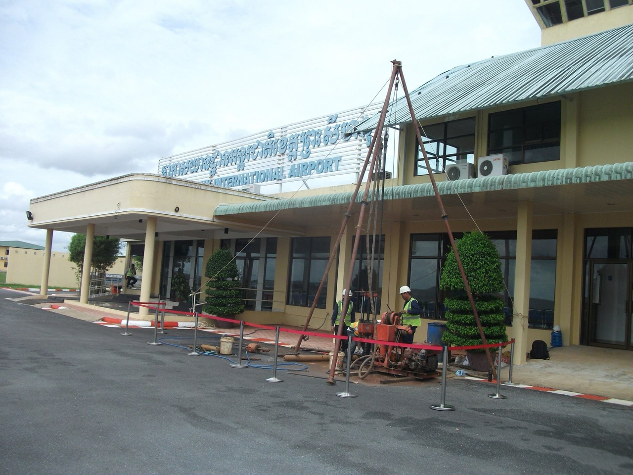
- Total Station — electronic angle and distance measurement for detailed ground control, boundary definition, and close-range feature survey where GPS signal is limited.
- Auto Level — optical levelling instrument used to establish benchmark elevations and run precise levelling networks for large-scale topographic mapping.
All data streams are processed and integrated in-house to produce a single seamless terrain model spanning both land and underwater surfaces.
Our Workflow
- Preliminary assessment — site visit, document review, scope definition, and selection of the appropriate survey method
- Control network establishment — setting up horizontal and vertical control points using DGPS/RTK base station and auto level
- Field data collection — UAV flight missions, echo sounder transects, and RTK rover ground measurements conducted simultaneously or in sequence
- Office processing & analysis — photogrammetric processing, bathymetric data computation, coordinate adjustment, and quality checking
- Deliverable handover — finalised maps, models, and reports submitted in agreed formats
Deliverables
Depending on project scope, deliverables include:
- Large-scale topographic maps (CAD and GIS formats)
- Digital Surface Model (DSM) and Digital Terrain Model (DTM)
- Orthophoto mosaic with survey annotations
- Bathymetric charts and riverbed/reservoir bed profiles
- Cross-section and longitudinal profiles
- Technical survey report with methodology, equipment list, accuracy assessment, and coordinate system documentation
Industries & Applications
Our survey services support projects in:
- Road and highway design and rehabilitation
- Dam, reservoir, and irrigation infrastructure
- Port, river, and waterway management
- Urban planning and drainage design
- Bridge and culvert engineering
- Flood modelling and river basin studies
- Mining and quarry volume assessment
Why HAIC Cambodia
HAIC Cambodia is an ISO 9001:2015 certified engineering company based in Phnom Penh. We have delivered topographic survey projects across multiple provinces in Cambodia, working with government agencies, international contractors, and development partners. Our survey team operates modern equipment, follows systematic quality control procedures, and produces documentation that meets international standards.
Quality comes first.
Get in Touch
To discuss your project or request a quotation, contact us through any of the following:
- Website: www.haicam.com
- Phone / Telegram: +855 977 855 953
- Zalo: +84 902 545 039 (Mr. Truong)
- Email: truongkieu@haicam.com
- Office: #6 Street D, Krang Tnorng Sangkat, Sen Sok Khan, Phnom Penh
See more detail here: See more detail here
Categories
Facebook H.A.I