Topographical Survey
Before the first shovel hits the ground or any structural blueprint is finalized, an accurate representation of the existing terrain is vital. Miscalculating boundary lines, elevations, or underwater contours can lead to severe design errors, budget overruns, and project delays.
Our company delivers comprehensive Topographical Survey Services, integrating state-of-the-art geodetic equipment with advanced aerial and marine technologies. Whether mapping dense jungles, urban corridors, or active riverbeds, we provide engineering teams with highly precise, reliable spatial data across land and water environments.
Our Core Surveying Capabilities
We provide dual-environment geospatial mapping solutions, ensuring seamless data continuity from land to water boundaries:
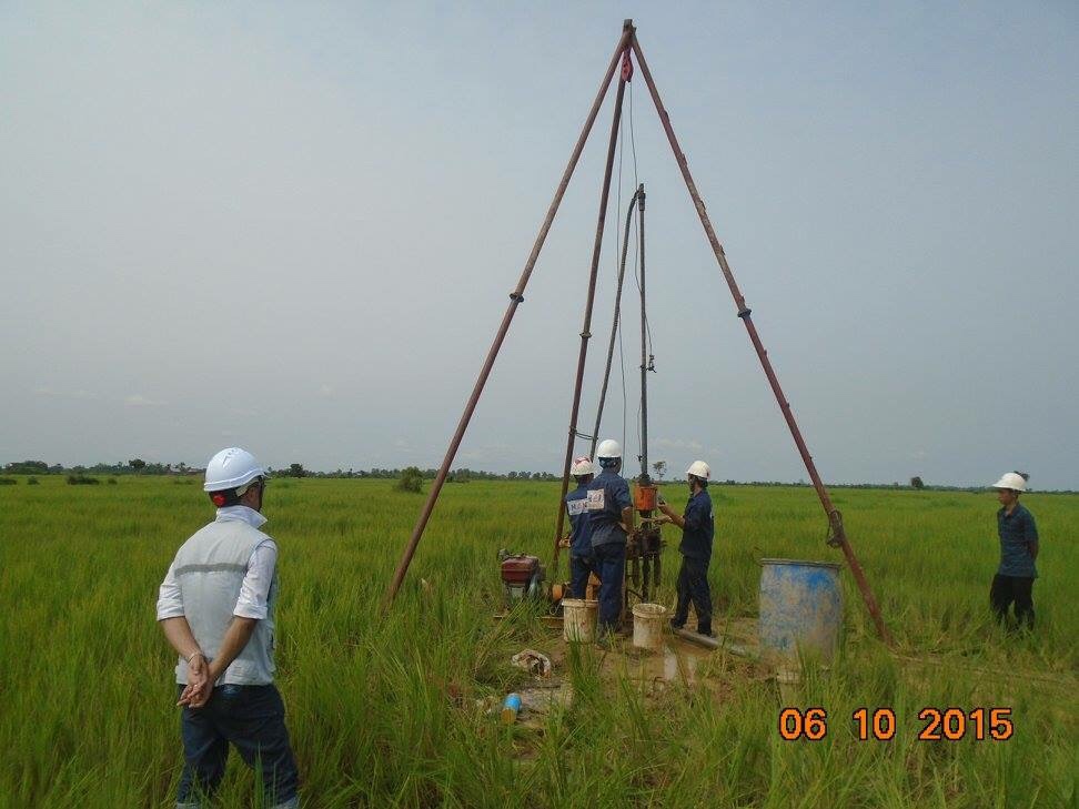
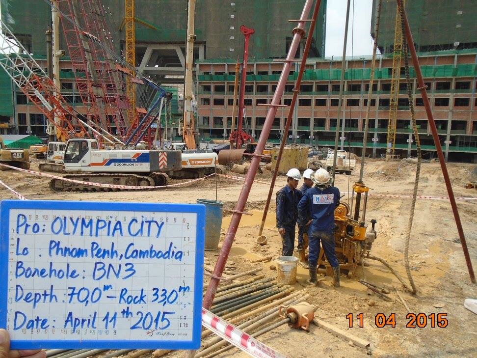
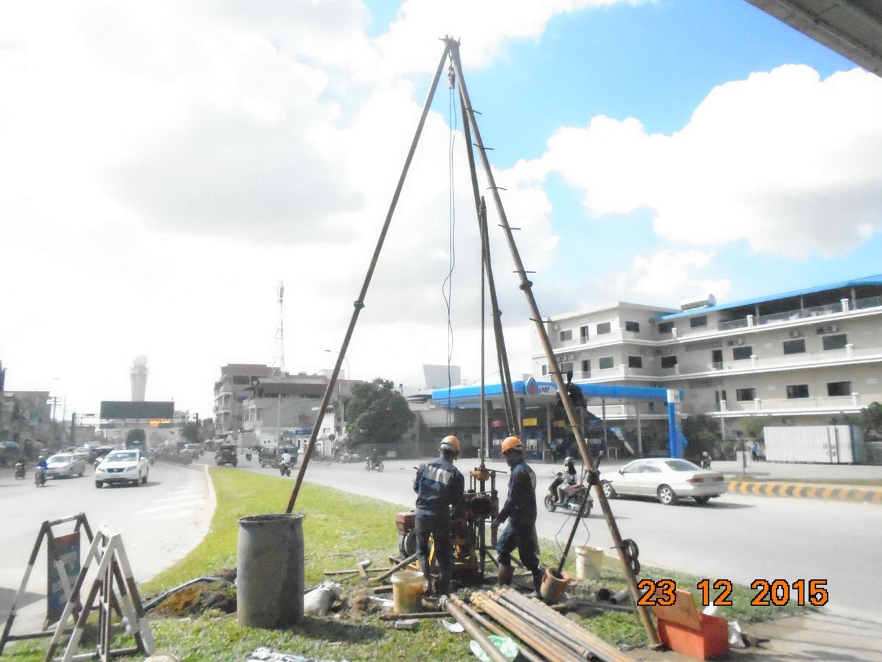
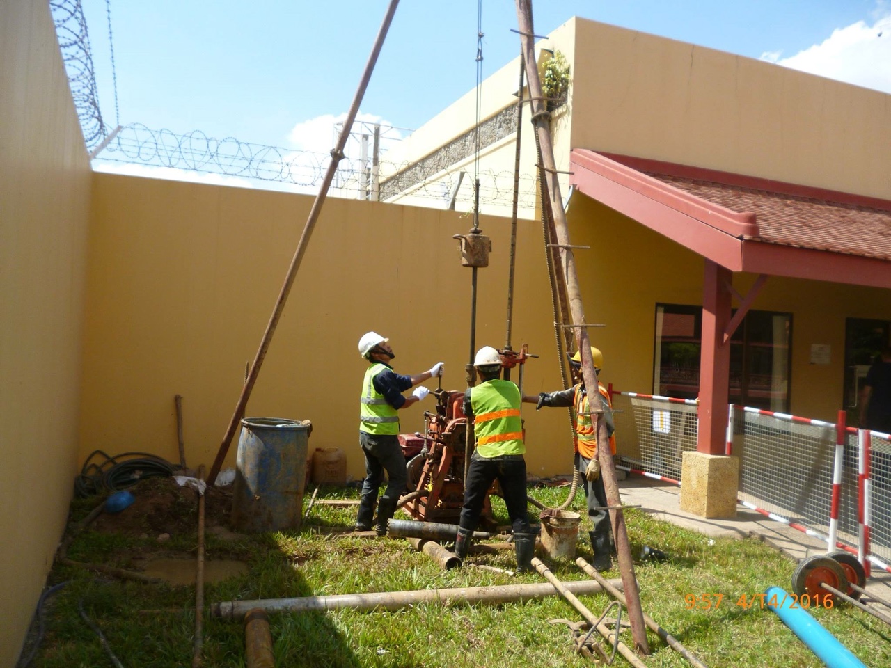
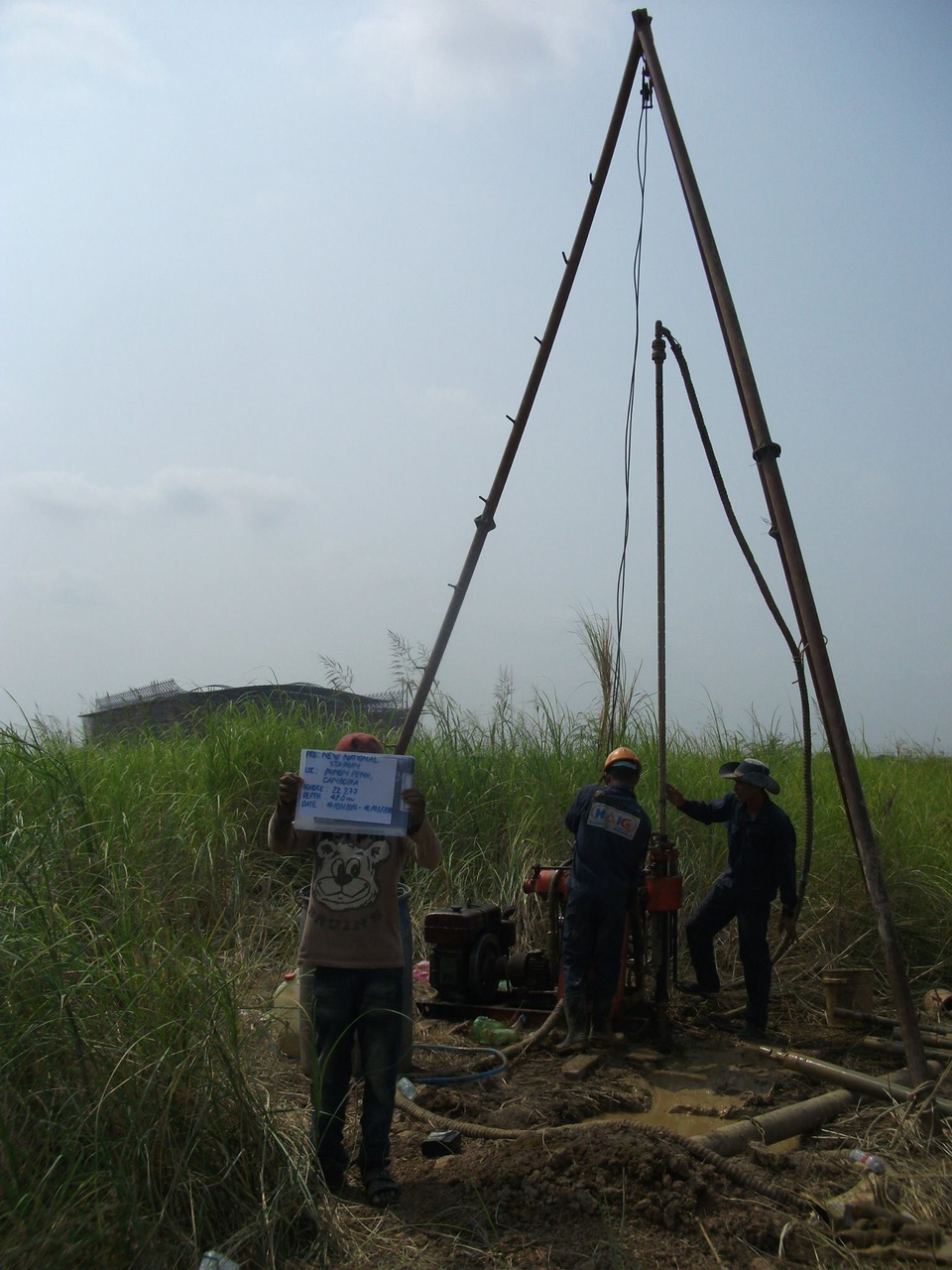
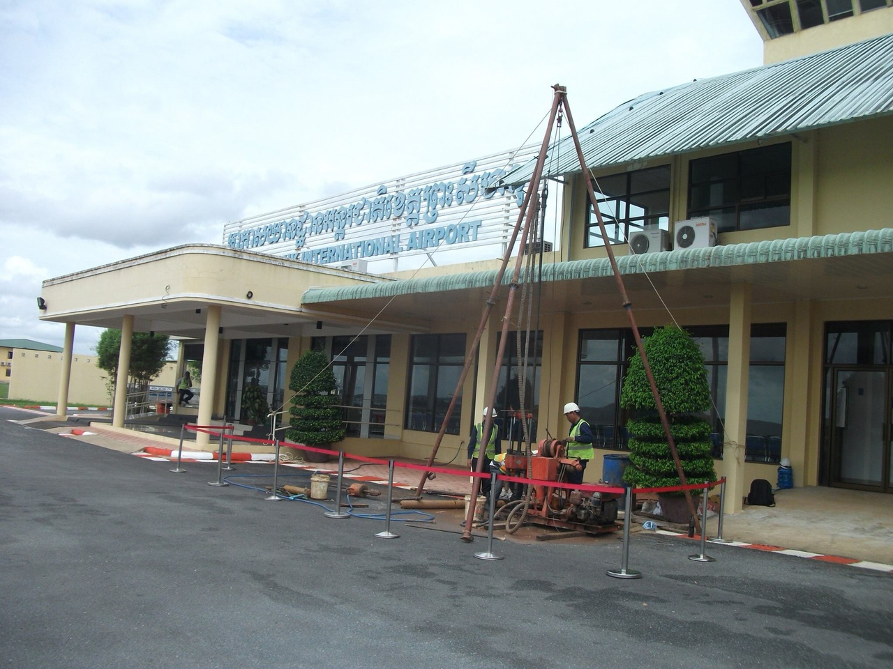
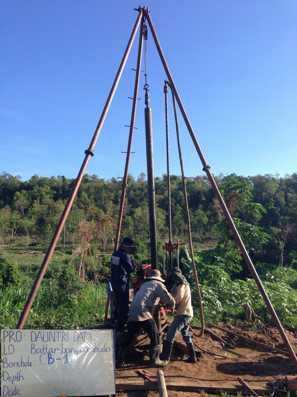
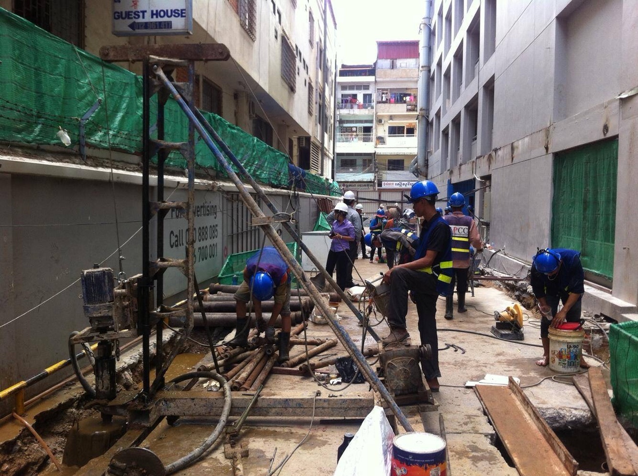
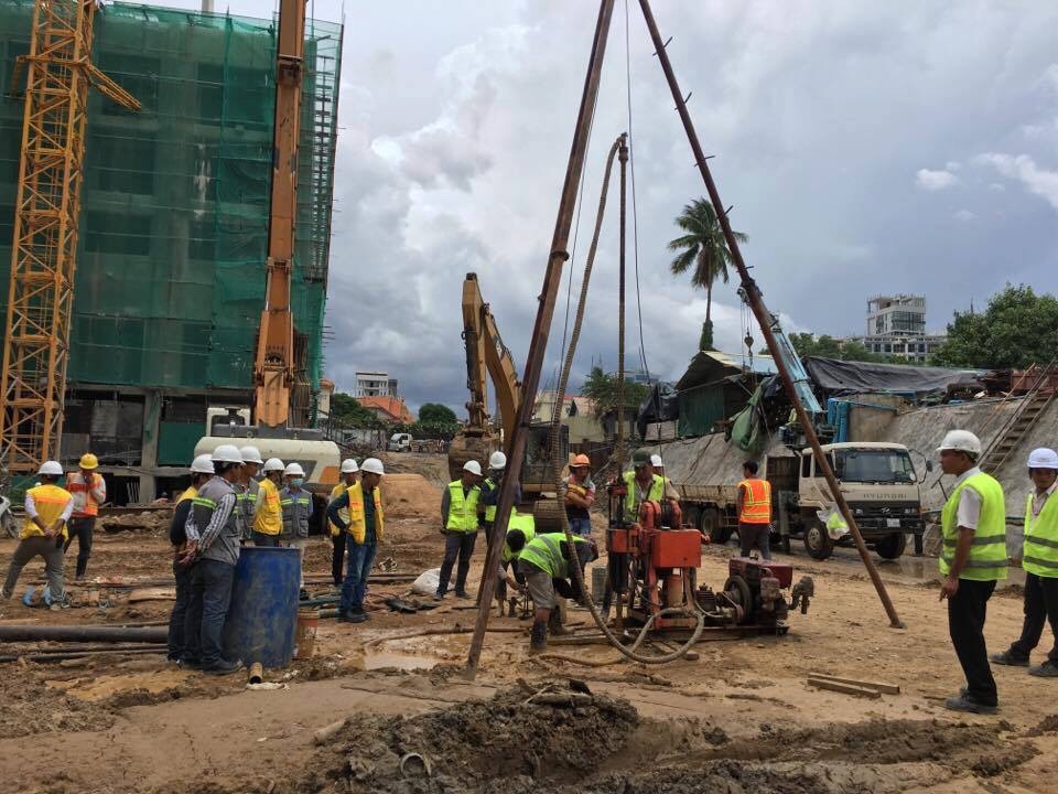
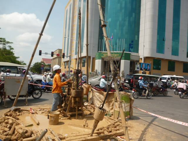
1. Land Topographical & Engineering Surveys
We deploy precision terrestrial surveying instruments to map out existing natural features, man-made structures, and exact elevation profiles:
-
Total Station & RTK-GPS Surveys: Mapping high-density boundary lines, utilities, and infrastructure positions with centimeter-level horizontal and vertical accuracy.
-
Control Network Establishment: Setting up reliable geodetic benchmarks tied to national spatial reference systems for ongoing construction monitoring and layout stakes.
-
Cross-Section & Longitudinal Profiles: Providing detailed cross-sectional data critical for road, canal, and pipeline design.
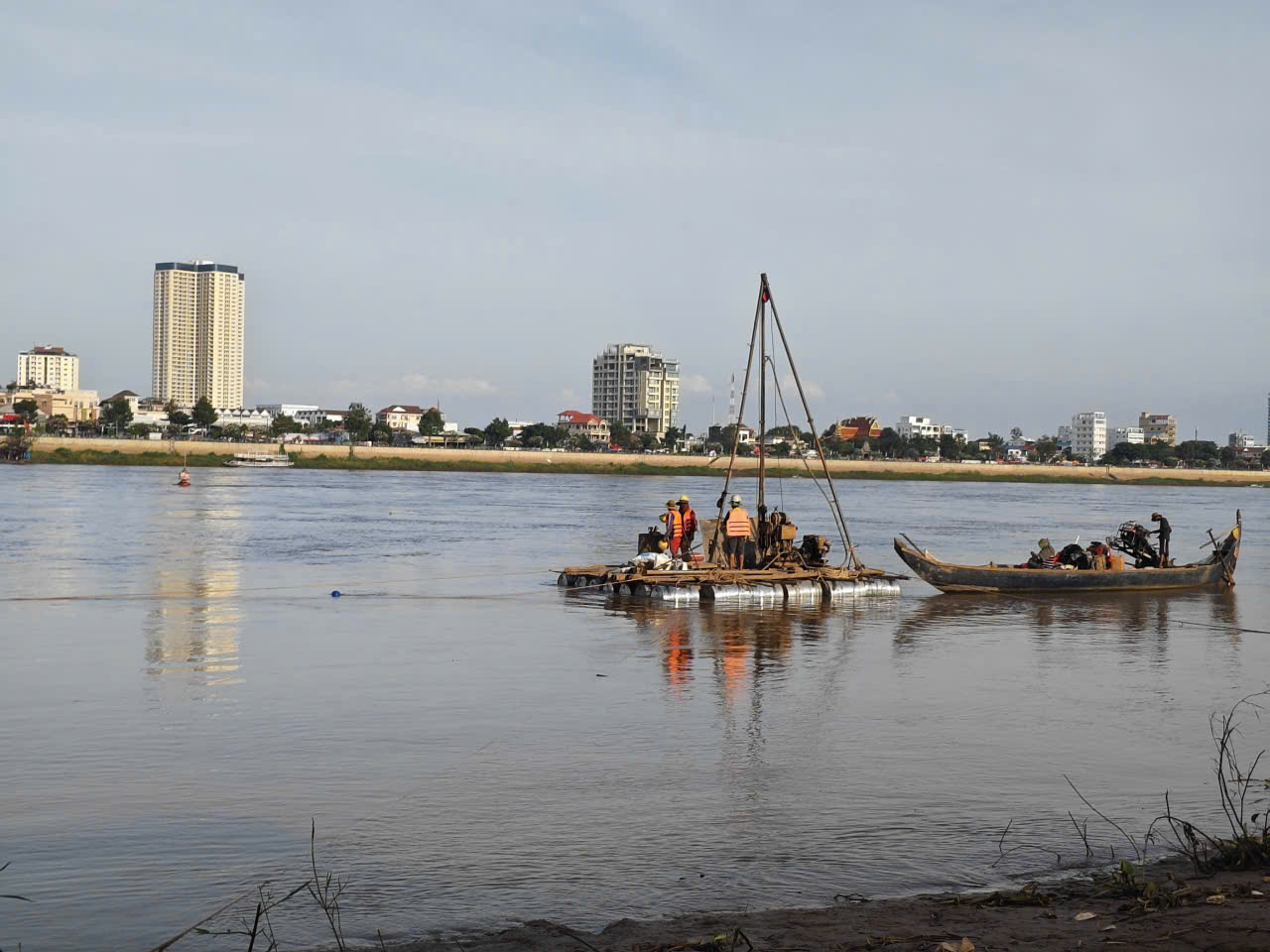
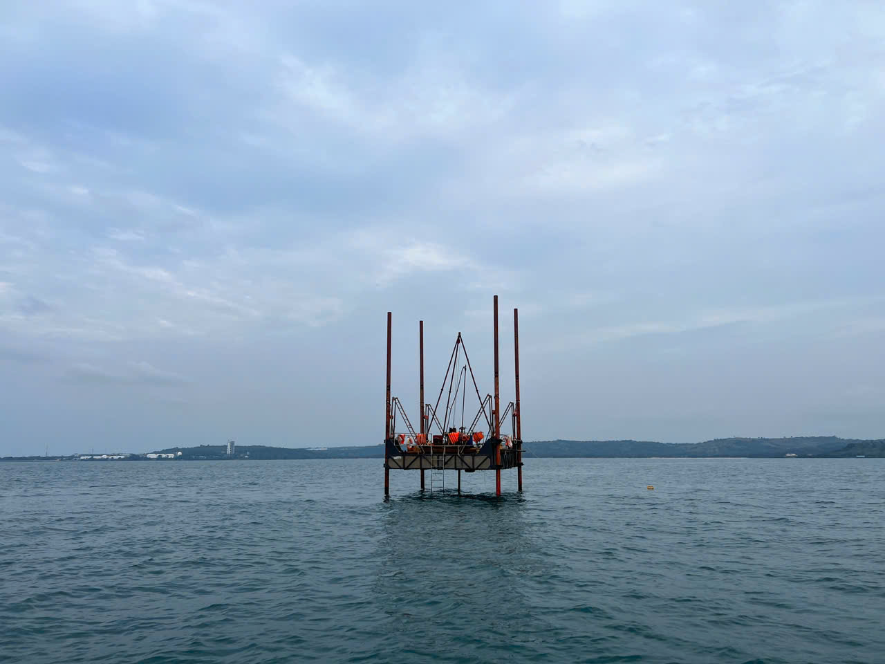
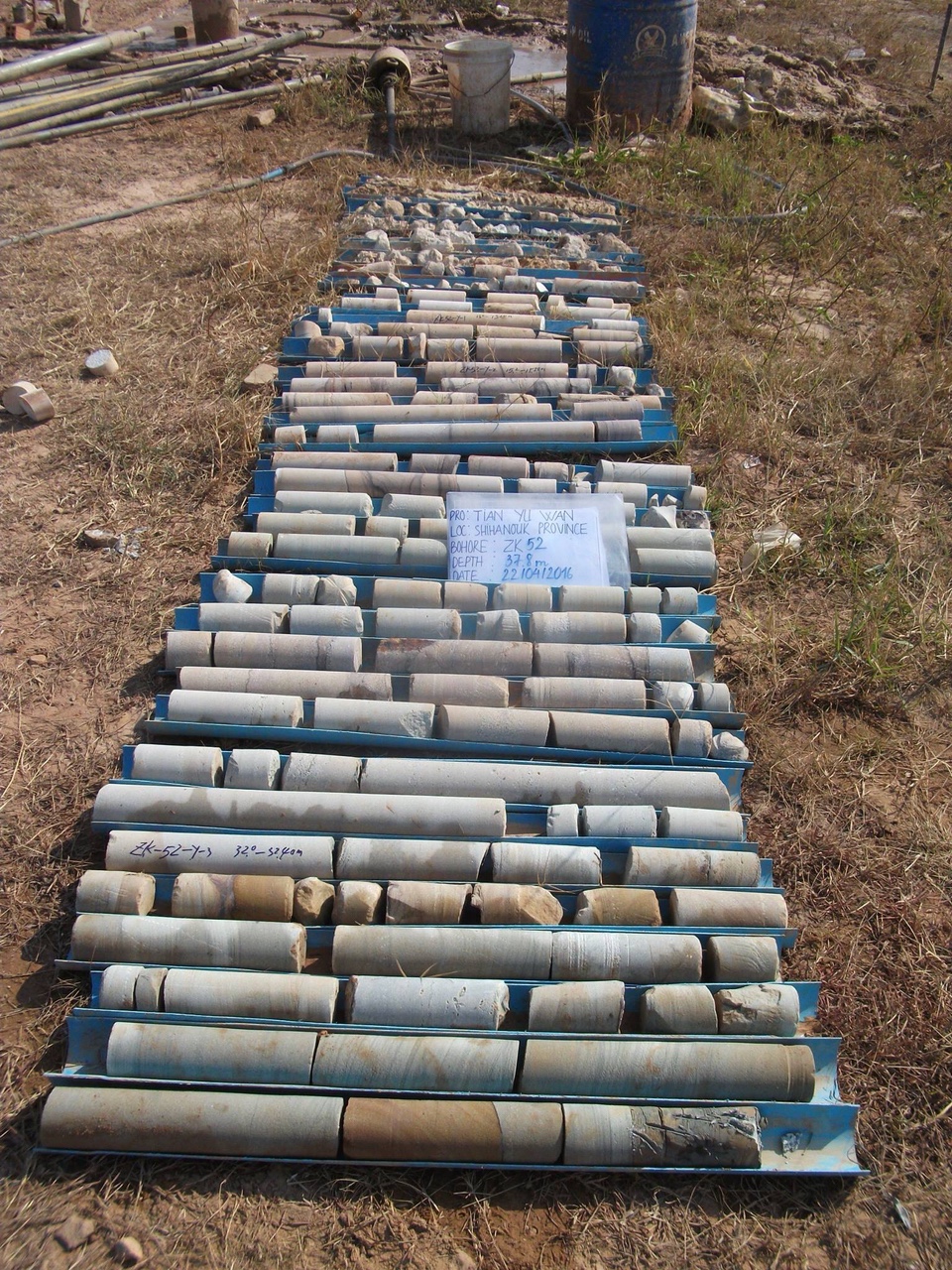
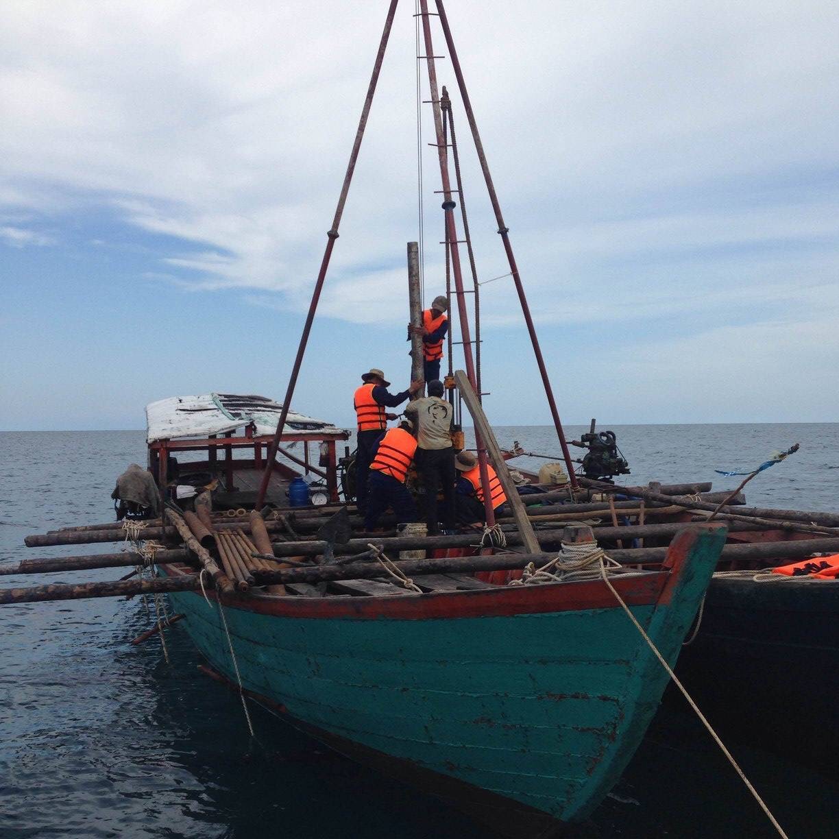
2. Underwater Bathymetric Surveys (Nearshore & Inland Water)
Mapping sub-surface terrain requires specialized marine surveying gear. We safely navigate rivers, reservoirs, and coastal boundaries to capture precise underwater topography:
-
Single-Beam Echo Sounder Mapping: Utilizing sonar technology integrated with real-time DGPS/RTK positioning to accurately measure water depths and map riverbed profiles.
-
Dredging & Volume Computations: Assessing underwater siltation levels and calculating exact cut-and-fill volumes for river dredging or marine foundation preparation.
3. Advanced Aerial Mapping & UAV Photogrammetry
For large-scale sites, challenging terrains, or fast-track projects, we utilize unmanned aerial vehicles (UAVs) to capture high-resolution geospatial imagery:
-
Orthomosaic Drone Mapping: Generating high-resolution, scale-accurate aerial maps of vast land areas.
-
Digital Terrain & Elevation Models (DTM/DEM): Stripping away vegetation profiles digitally to map the true underlying ground contours, perfect for flood modeling and earthwork estimation.
Modern Surveying Fleet & Deliverables
To guarantee flawless data execution, our surveying teams utilize a certified, calibrated fleet of instruments:
-
Precision Total Stations & Multi-Frequency RTK-GPS GNSS Receivers.
-
Automatic & Digital Levels for precise settlement monitoring.
-
Hydrographic Sonar Equipment with integrated data loggers.
All gathered field data undergoes rigorous processing using advanced CAD and GIS mapping software. We provide our clients with clean, highly professional engineering deliverables, including 2D/3D Topographical Maps (AutoCAD formats), Digital Elevation Models, Contour Maps, and comprehensive Survey Reports ready for immediate design integration.
Why Choose Our Surveying Services?
-
Dual-Environment Precision: Seamless integration of land surveys and bathymetric data into a single, unified coordinate system.
-
Advanced Technology Fleet: Utilizing high-end UAV and sonar equipment to speed up field data collection while maintaining strict accuracy.
-
Fast and Flexible Mobilization: Ready to deploy experienced surveying crews across remote field sites or challenging coastal locations.
Map your project boundaries with absolute confidence.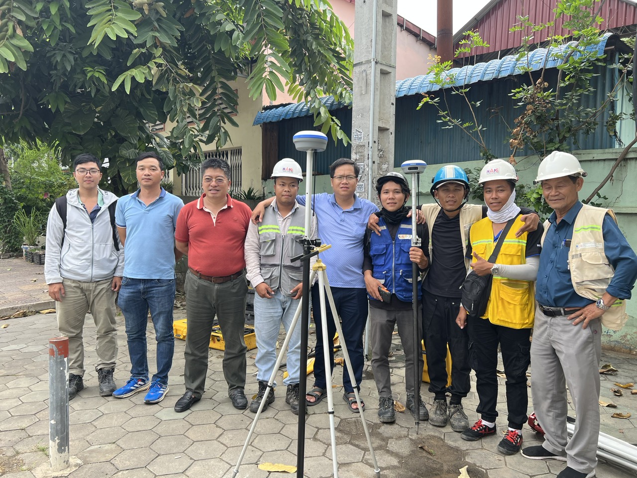
Categories
Facebook H.A.I