


Topographical Survey
 The purpose of topographical survey is to research into topographic conditions of the study area and to collect appropriate data for design and related work. Drawing the topographic map:
Categorys
Faacebook
Facebook H.A.I


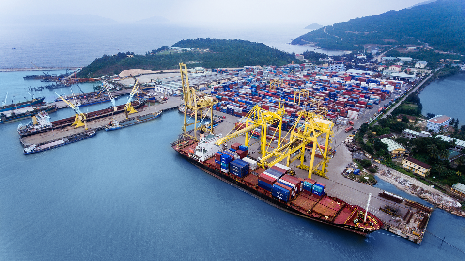
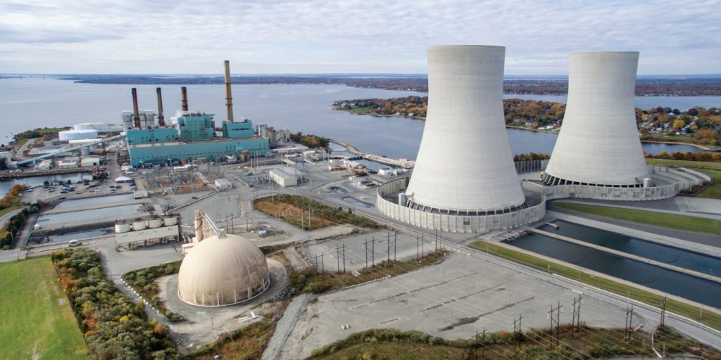
Power plant in Koh Kong province

Water treatment plant Chamcarmon
Olympia city phase 2
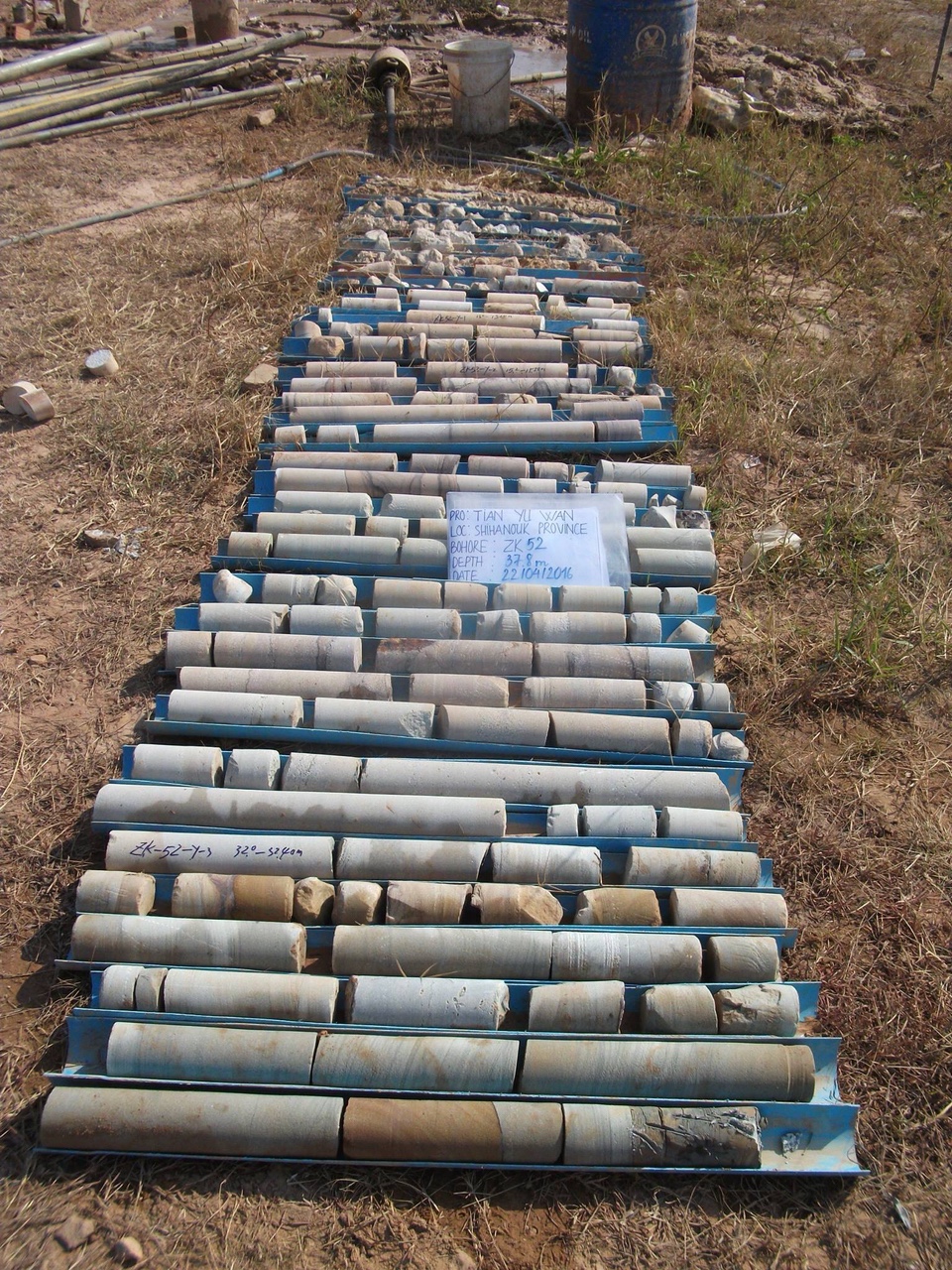
Tian yu wan building
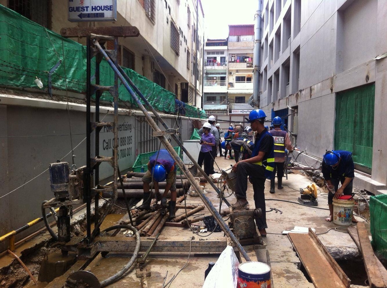
Sorya shopping mall
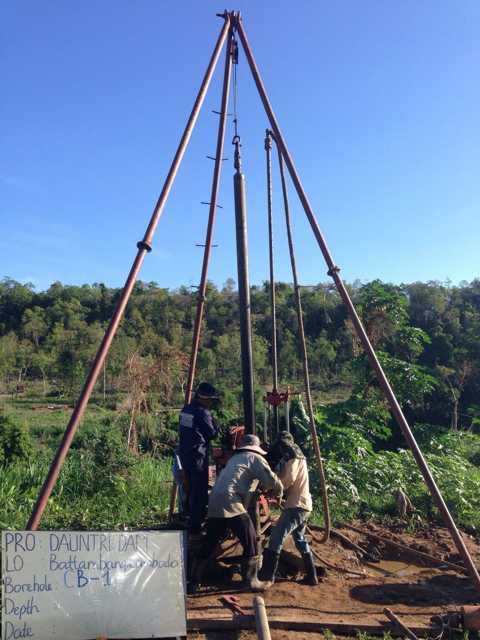
Dauntri Dam
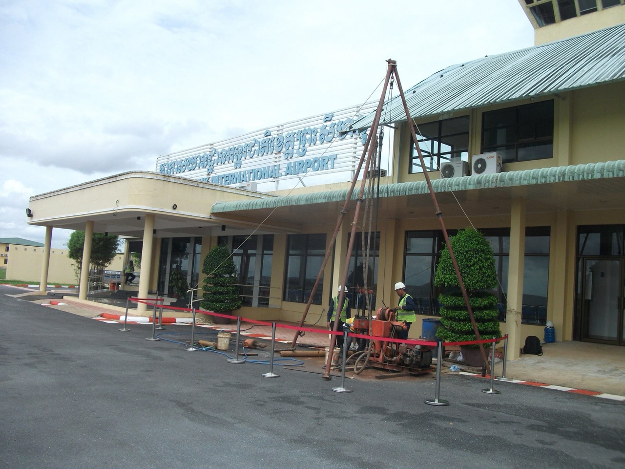
Sihanoukville International Airport
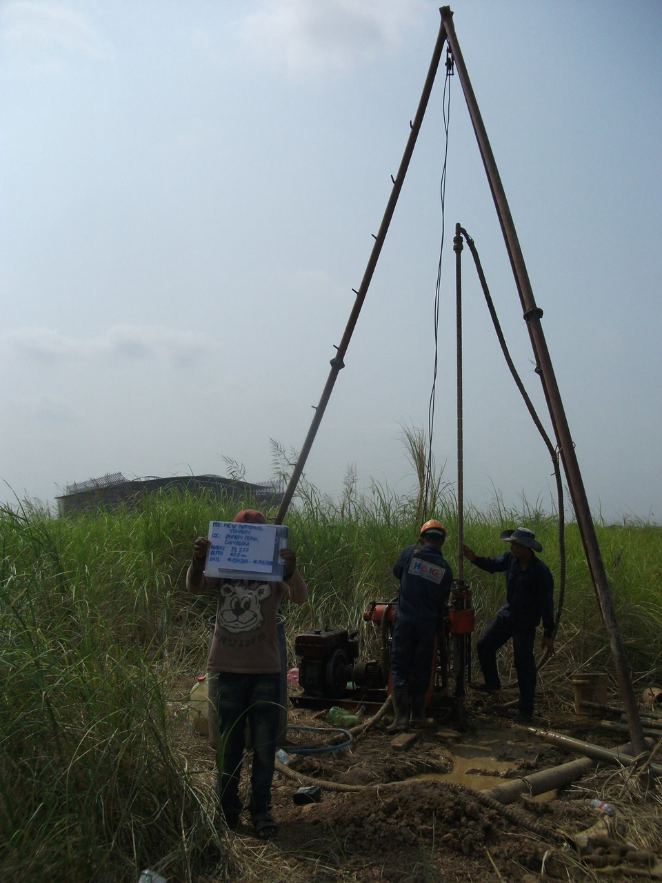
New national stadium
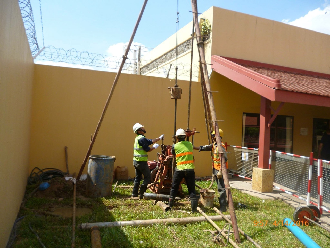
Phnom Penh international airport
Monivong flyover
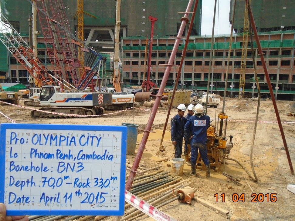
Olympia city phase 1
Oil, gas in Kompong Thom
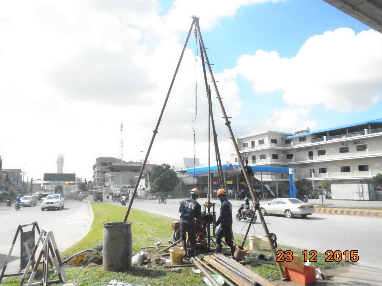
MAO TSE TOUNG BLVD

KING TRIP CAMBODIA

NEW CHROY CHANGVA BRIDGE